Created 31-Aug-12
Modified 31-Aug-12
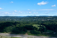
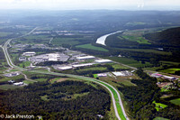
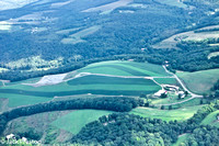
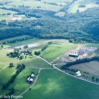
Here are some aerial photographs that were captured on August 6, 2012. The shots are from Lycoming, Bradford, Tioga and Clinton Counties.
A GOOGLE earth map of the actual route is included. Also included is real time GPS data.
If desired... To determine a photo's location, match the time shown in the image's file name to the coresponding time in the GPS log.
Category:
Subcategory:
Subcategory Detail:
Keywords:
Jack Preston